
General Information
Project Type
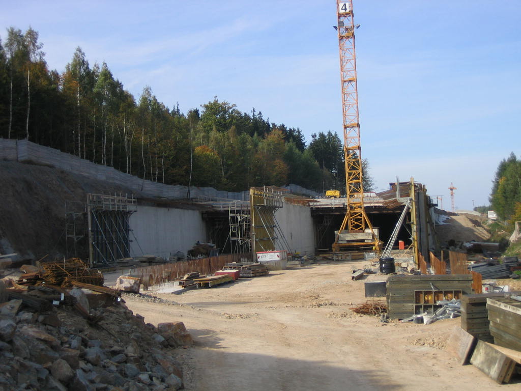
| Structure: |
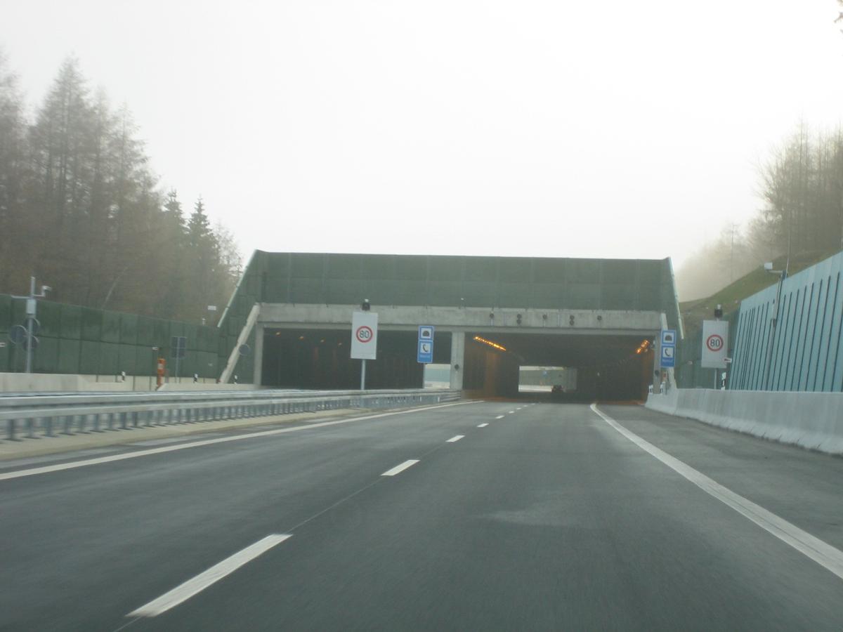
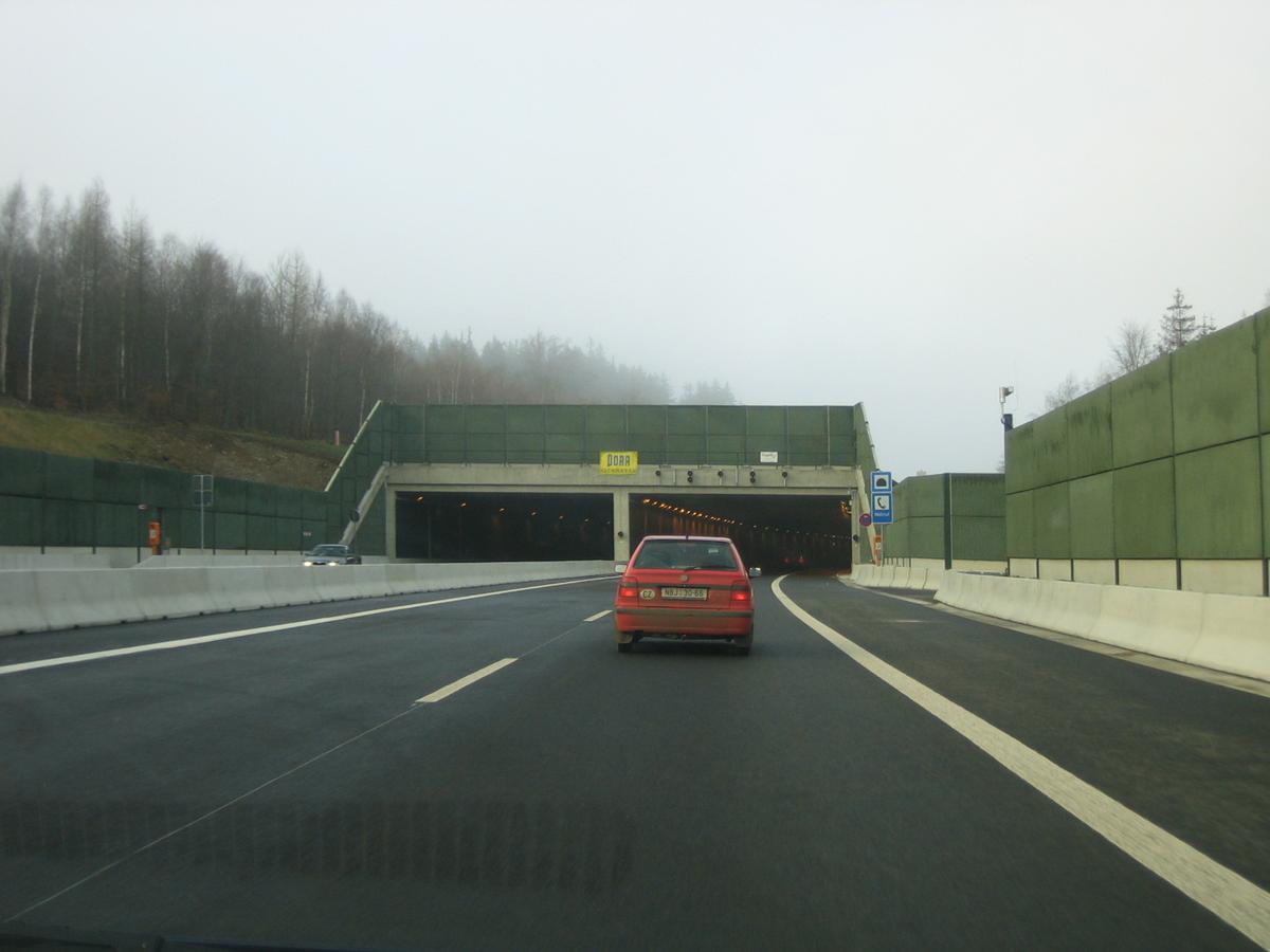
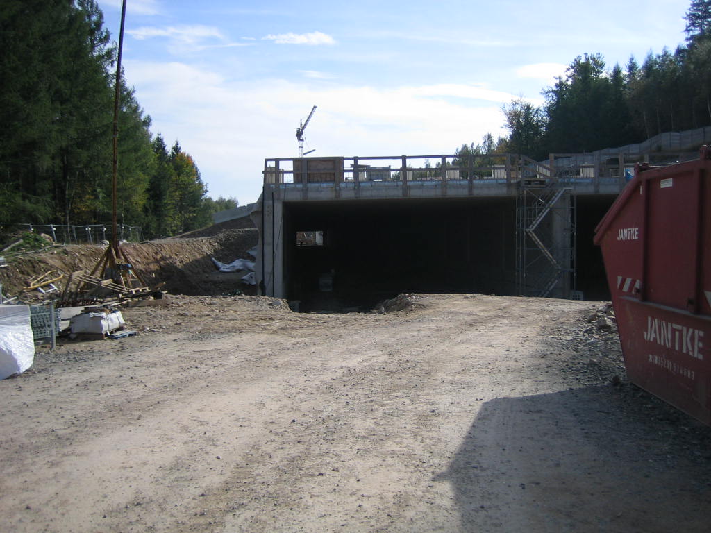
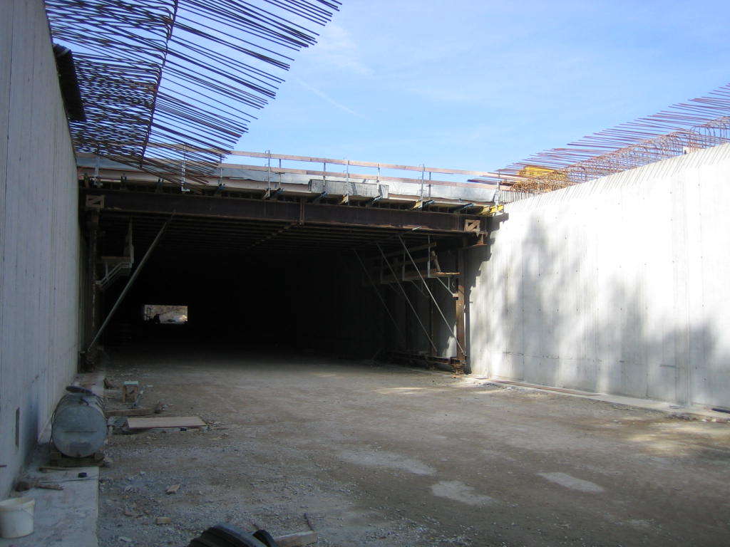
Tunnel |
|---|---|
| Function / usage: |
Road tunnel |
| Construction method: |
Cut-and-cover method |
Location
| Location: |
Geising, Sächsische Schweiz-Osterzgebirge, Saxony, Germany Bad Gottleuba-Berggießhübel, Sächsische Schweiz-Osterzgebirge, Saxony, Germany |
|---|---|
| For: |
|
| Part of: | |
| Coordinates: | 50° 47' 7.58" N 13° 53' 41.77" E |
| Coordinates: | 50° 47' 15.81" N 13° 53' 33" E |
Technical Information
Dimensions
| total length | 300 m | |
| clearance | min. 4.80 m | |
| longitudinal slope | 0.5 % |
Materials
| foundation slab |
reinforced concrete
(B 25)
|
|---|---|
| wall |
reinforced concrete
(B 35)
|
Participants
Owner
Co-contractor
Construction supervision

Relevant Web Sites
There currently are no relevant websites listed.
- About this
data sheet - Structure-ID
20006068 - Published on:
09/10/2002 - Last updated on:
28/05/2021
Structurae cooperates with


